
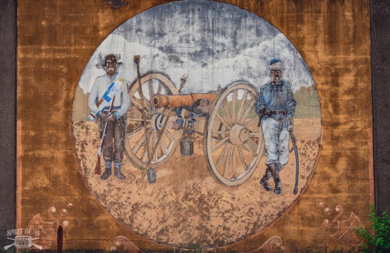
Throughout 1861, Union and Confederate forces struggled for control of the Kanawha Valley, an important east-west corridor through what was then western Virginia. I recently had the opportunity to visit several Civil War sites in the region, including locations along the Ohio and Guyandotte rivers. Although much has changed in the past 165 years, I still enjoy seeing these places firsthand and visiting the signs and monuments that mark the region’s role in the conflict.
The Kanawha River runs 97 miles from the confluence of the New and Gauley rivers to the Ohio River. In 1861, the valley’s largest town was Charleston, with a population of 1,520. South of town, the Dickinson saltworks produced large quantities of salt, a vital commodity for preserving food and curing leather. The river itself provided a navigable route into the heart of western Virginia. When former Governor Henry A. Wise used military force to suppress the region’s strong unionist sentiment, Maj. Gen. George B. McClellan dispatched Brig. Gen. Jacob D. Cox to drive Wise’s small army from the valley.
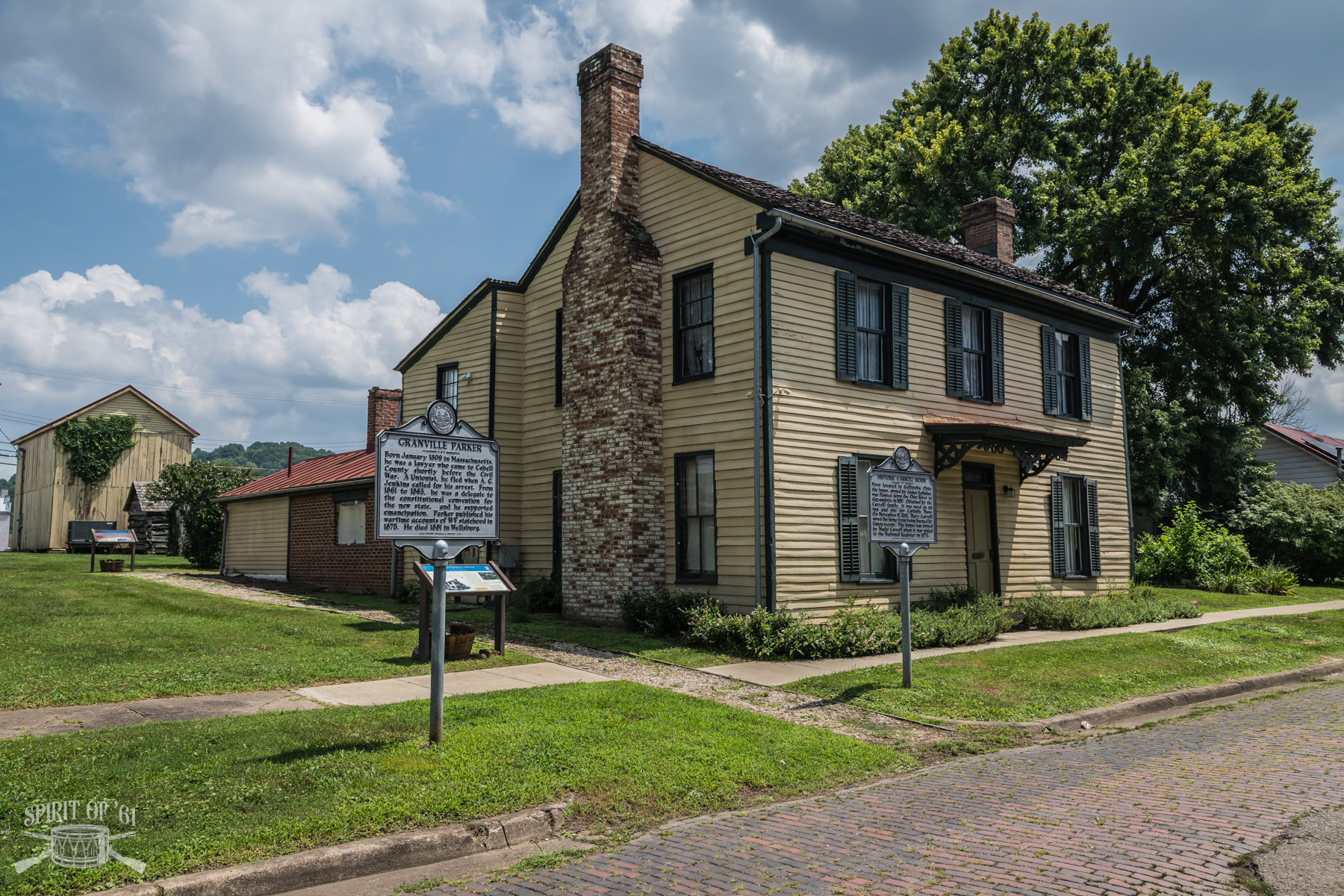
My first stop was the old town of Guyandotte, at the confluence of the Guyandotte and Ohio rivers. Today, it is part of Huntington, West Virginia, home to Marshall University. The Madie Carroll House Museum on Guyan Street preserves one of the few surviving structures from the early 1800s. Guyandotte was a stronghold of secessionist sentiment. After a Confederate victory in a small skirmish on November 10, 1861, Union forces occupied and burned the town. It was the first community on the Ohio River to fly a secession flag. Today, a handful of historical markers recount the events that led to its destruction.
From there, it was just a short drive to Barboursville in Cabell County, where, on July 13, 1861, a raid led by Lt. Col. George W. Neff of the 2nd Kentucky Infantry (U.S.) erupted into a brief skirmish on a rugged ridge overlooking the town. The fight is notable as the first action involving Albert G. Jenkins, a former congressman who rose through the ranks to become a Confederate brigadier general and renowned cavalry commander.
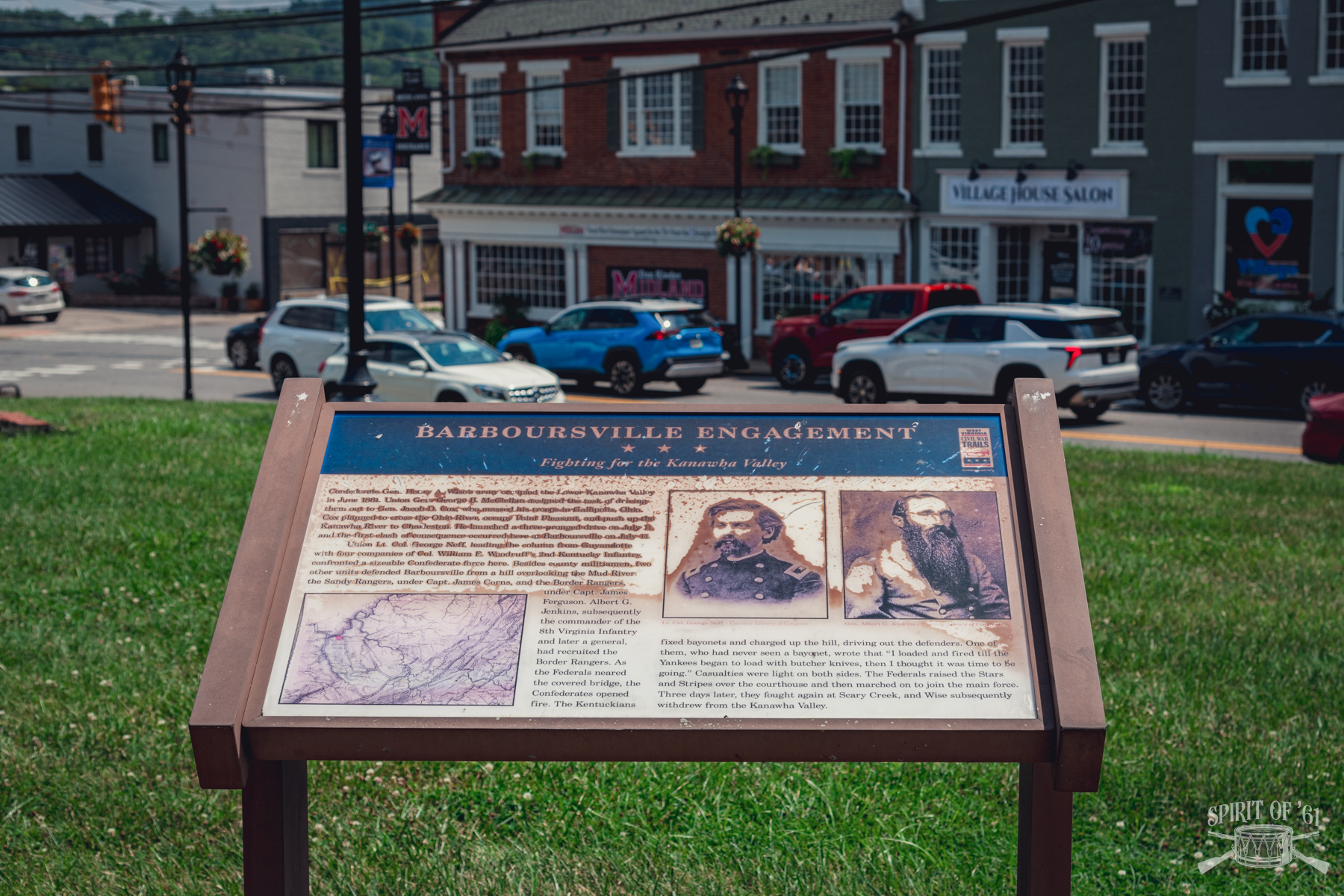
Barboursville has changed considerably in the years since, and little effort has been made to preserve the battlefield. A Civil War Trails marker stands near Main Street, while a state historical marker sits at the intersection of U.S. Route 60 and Water Street near the hill where the fighting took place. A railroad bridge now spans the Mud River at roughly the same location where a covered bridge crossed during the Civil War.
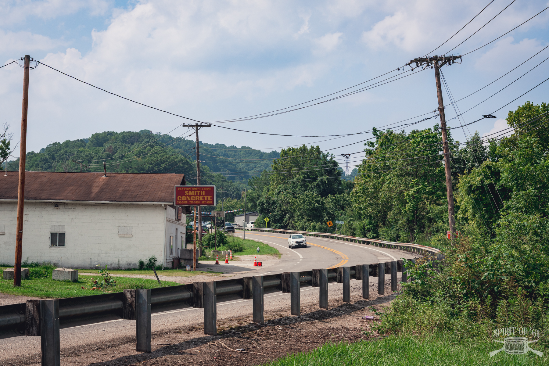
The first military action of any significance along the Kanawha River took place where the Pocatalico River empties into the Kanawha on July 16, 1861, when Ohio troops clashed with Confederate cavalry under Col. John N. Clarkson. The skirmish was so brief and inconsequential that few people today know it occurred, and no historical signs or markers commemorate the site. Instead, the John Amos Nuclear Power Plant now towers over the battlefield. Poca remains a small community of under a thousand people, but it’s difficult to imagine what the area looked like over a century ago.
The highlight of the journey was, of course, the Scary Creek battlefield. Like the other sites I visited, there is no formal park or preserved battlefield, although a few historical markers remain, along with a monument erected by the St. Albans Chapter of the United Daughters of the Confederacy around 1929. The monument was moved to a more accessible location in 2015, and a Rivers to Ridges Heritage Trail sign describing the battle was installed nearby.
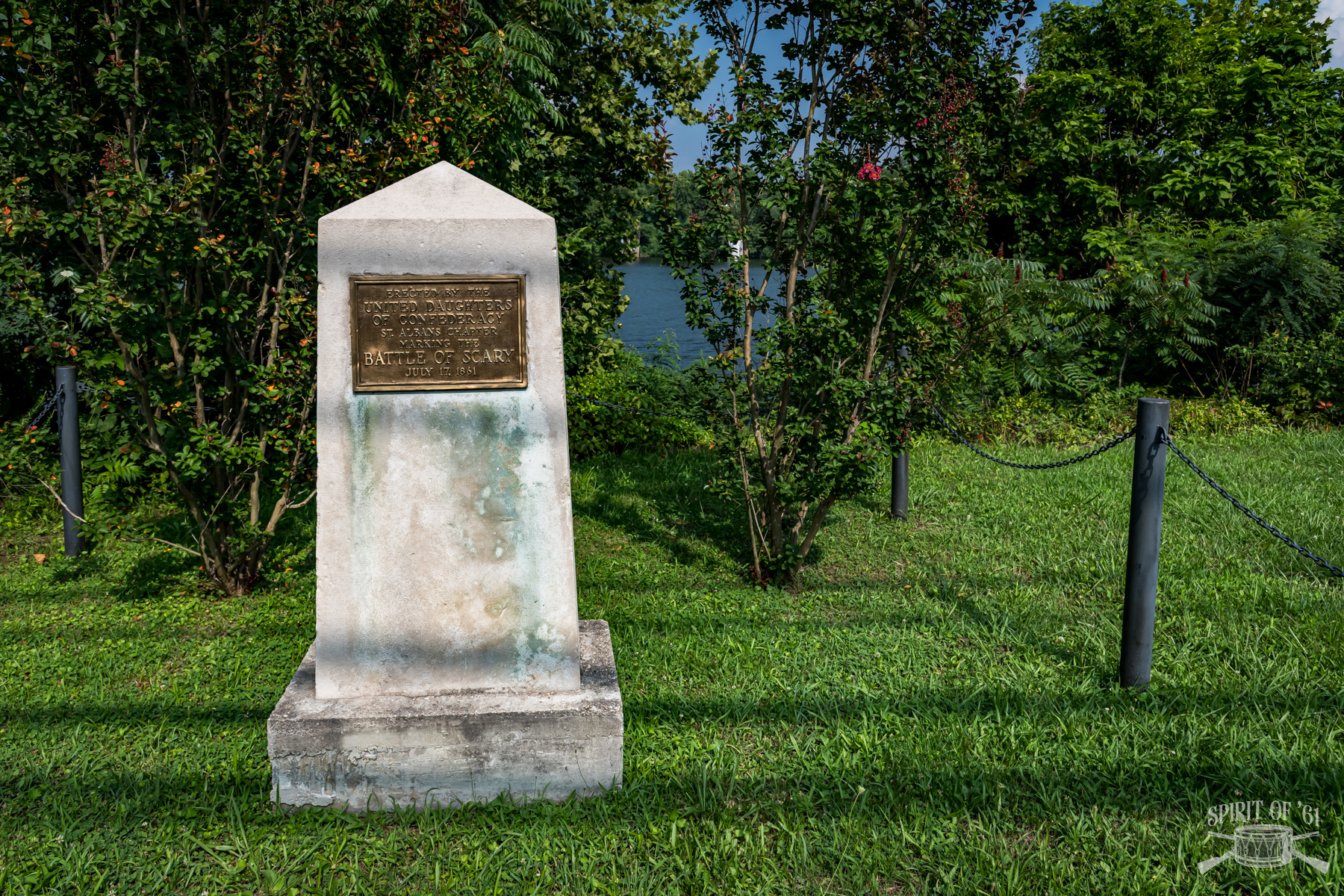
Today, Winfield Road crosses the mouth of Scary Creek below its intersection with Teays Valley Road, much as it did 165 years ago. A small cemetery on the hill west of Teays Valley Road is all that remains of the Simms estate that stood here at the time of the battle. If you’re ever in the area, I recommend grabbing a bite at the Red Line Diner. The staff is super friendly.
It was entirely unplanned, but I happened to visit these sites in mid-July, just in time for the 165th anniversaries of three of the engagements. There is something special about experiencing the landscape under much the same seasonal conditions as the soldiers who fought there. The entire trip from Guyandotte/Huntington to Scary Creek is less than 43 miles and can easily be completed in an afternoon. If you’re ever in the area, I encourage you to visit these sites and let the local communities know how much we value their history.


