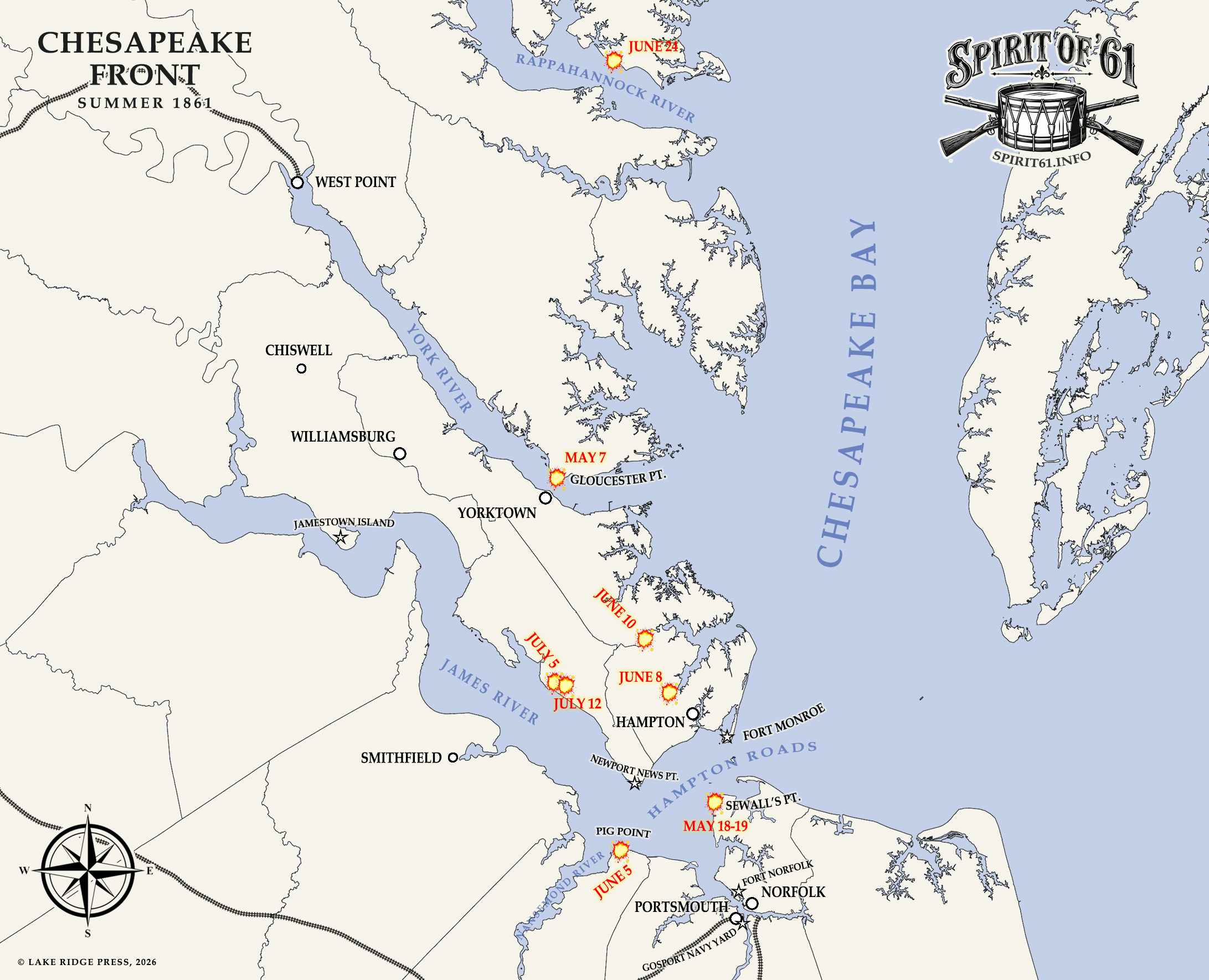
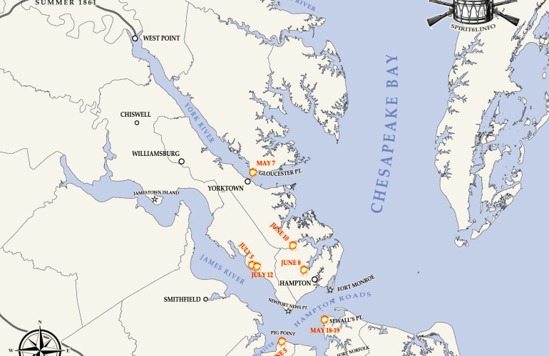
Our previous map of the Chesapeake Front was, to put it bluntly, atrocious. But thanks to the National Historical Geographic Information System (NHGIS) and U.S. Census Bureau TIGER/Line files, I was able to obtain a shape file of Virginia with historical county boundary lines. I did have to do some editing, particularly around Sewell’s Point, where the shoreline has changed considerably since 1861.
Overall, I think this is a marked improvement over the previous version, and with this new data source, you can expect more revised maps in the future. For me, it’s difficult to follow events without a map. Even a simple one such as this goes a long way toward helping you understand where events unfolded and how those places relate to one another.