Earlier this month, I took a trip up to the Romney, West Virginia area to visit some Civil War sites and take pictures for this encyclopedia. It was a beautiful, warm day, but it was clear I would spend most of it in the car. My goal was to hit the Romney, Keyser, Cumberland triangle and parts in between. This covers ground trod upon by Lew Wallace’s 11th Indiana and Turner Ashby’s cavalry. Most of the skirmish sites are unmarked, but a few Civil War Trail signs have been erected in the past several years.
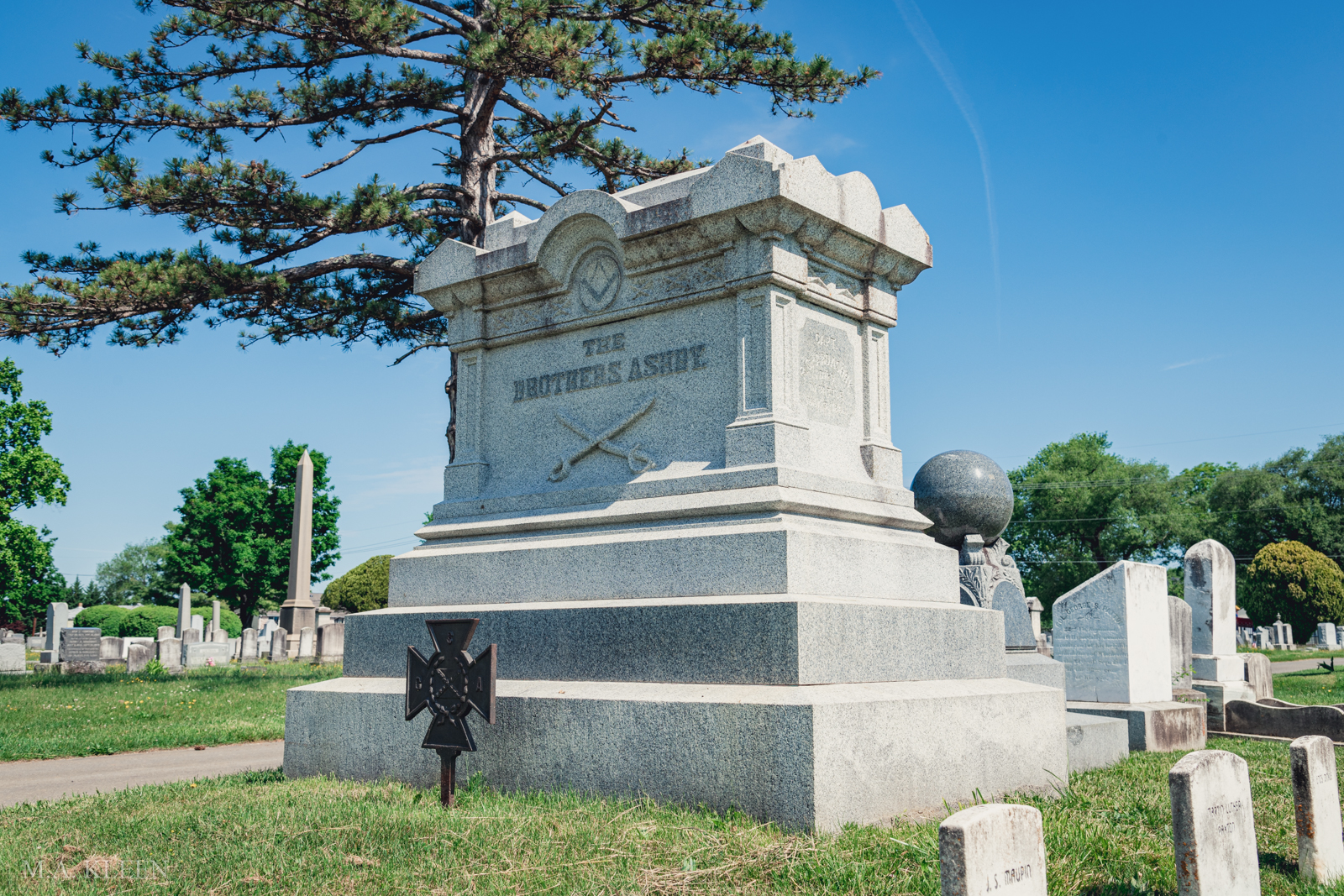
My first stop was Winchester, Virginia, to visit Turner and Richard Ashby’s grave in the Confederate portion of Mount Hebron Cemetery. I also stopped by the Kernstown Battlefield, since I missed it on a previous trip to Winchester. Driving from Winchester to Romney along U.S. Route 50 is a distance of only 42 miles, but it’s easy to see how challenging it would be for an army to make that journey. U.S. Route 50 roughly follows the old Northwestern Turnpike through the Appalachian Mountain’s Valley and Ridge Zone.
Anyone familiar with ruck marching in the Army knows what constant ascents and descents does to a formation, with the “accordion” effect in full swing. I can’t even imagine the effect on a wagon train laden with artillery, ammunition chests, and supplies. It would be a several-day slog at least. All this is to say that despite its apparent closeness to Winchester, a town of over 4,000 people in 1860, that corner of the Old Dominion feels very isolated.
A modern concrete highway bridge has replaced the covered bridge over the South Branch Potomac River southwest of Romney that Lew Wallace’s men stormed across in 1861. There is a gravel pull-off and river access road facing “Piss Pot Island”, and a Civil War Trail sign tells the story. Fort Mill Historic Site is just south of there, but that’s outside the scope of this encyclopedia.

John Blue Bridge is north of Romney along Cumberland Road. This is near the site where Turner Ashby erected “Camp Washington” for his cavalry company. Now, this site has changed significantly in recent years. In 2022, a brand-new concrete bridge replaced the old iron 3-span truss bridge erected in 1936. The Civil War Trail marker for the October 24, 1861 Wire Bridge Engagement was moved to the east side of the road near the bridge. There was a marker for Camp Washington but I didn’t see it on my visit. It’s possible the sign was moved closer to where Camp Washington was actually located or removed entirely.
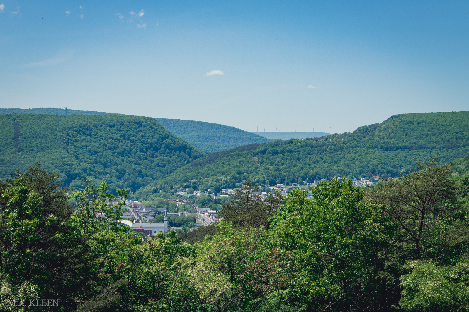
From there, I meandered my way to Keyser, West Virginia, which in 1861 was known as New Creek. There were two engagements fought there in the summer of 1861, one at the railroad bridge northeast of town and the other somewhere near the former depot. Today, the site of New Creek Depot is a trash-filled lot at the end of North Water Street. You can see a brick street exposed where Water Street extended to the depot, and there’s a small sign attached to a telephone pole to explain what you’re looking at. One Civil War historical marker in Keyser is on the WVU Potomac State College campus near where Union troops erected Fort Fuller in 1862.
The current railroad bridge over the Potomac River’s North Branch is difficult to get to, but it can be accessed off 21st Bridge Road on the Maryland side. Nearby is Queens Point Overlook, which Google shows has an excellent view of the surrounding area. I didn’t have time to climb up there, however, and I read it’s on private land. (Please leave a comment if incorrect).
The trip north from Keyser to Cumberland is easiest along the river on the Maryland side. Unfortunately, I was unable to find where Lew Wallace’s camp was in Cumberland, but I did see some markers related to the capture of Union generals B.F. Kelly and George Crook in 1865. Looking at the area strategically, it would be much easier for an army coming from the north to get around than one from the south.
The Baltimore & Ohio Railroad and Chesapeake and Ohio Canal allowed for freedom of movement southeast and southwest, and Cumberland itself, with a population about the size of Winchester, was a good base of operations. The National Road and B&O Railroad kept supplies flowing regularly. If you were coming from Romney, however, all you would have is country roads meandering north through the mountains. Forested hills and ridges, and numerous creeks and streams impede movement. Imagine trying to push supply wagons along those narrow, winding mountain roads.
From Cumberland, I attempted to find the Civil War Trails historical marker for “Turner Ashby’s Attack” at Kelley’s Island. This marker was erected within the past year or two along the Chesapeake & Ohio Canal Towpath near Oldtown, Maryland. A word of warning: Google shows roads in this area that do not exist in real life. I tried several different routes to get close to this marker, but all ended in what looked like someone’s driveway. Not wanting to get shot at or have the cops called on me, I gave up the search. Why would you erect a historical marker somewhere that was not easily accessible? You shouldn’t have to go on an Indiana Jones adventure just to read a sign.
Though I spent most of my journey in the car, I learned a lot about the terrain and the distances between locations and landmarks. It’s one thing to read about events, another to actually visit the sites. In my experience, you can’t accurately write about military history without observing the ground yourself. You can stand in the same place as those historical figures and, though some details have changed, put yourself in their shoes.
